Ayers Rock and Uluru: one rock, two names
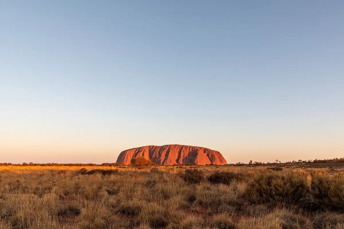
Uluru is the name the Anangu have used for as long as the rock has been known to them. It comes from Pitjantjatjara and has no English translation. Ayers Rock is a later name. In 1873 the explorer William Gosse named the rock after Sir Henry Ayers.
In 1993 the rock received an official dual name, Ayers Rock / Uluru. In 2002 the order was reversed to Uluru / Ayers Rock. Today the park uses Uluru, and so does this guide. Many visitors still search for Ayers Rock, which is why the old name appears in the title.
The rock sits inside Uluru-Kata Tjuta National Park in the Northern Territory. The Anangu own the land and lease it to the Australian government. The park is run jointly with Parks Australia. This website is an independent guide and is not connected to either of them.
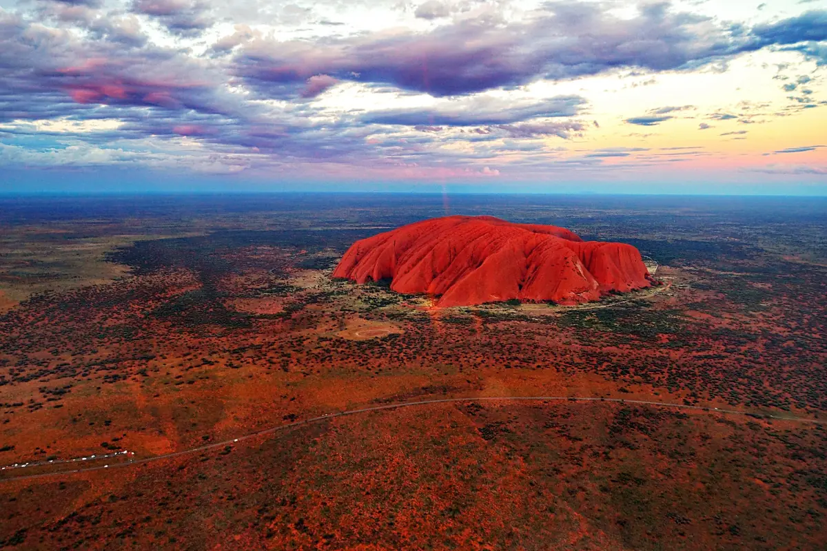
Key facts about Uluru
The numbers people mix up most often.
| Topic | What to know |
|---|---|
| Height | 348 m above the plain. The figure is not an altitude above sea level. |
| Circumference | 9.4 km around the rock. The marked Base Walk is a little longer, at 10.6 km. |
| Land returned to the Anangu | 1985 |
| Park renamed Uluru-Kata Tjuta National Park | 1993 |
| World Heritage listing | Natural values in 1987, cultural landscape added in 1994 |
| Climbing | Closed permanently on 26 October 2019. See Can you climb Uluru? |
The park name and the dual name of the rock are not the same thing. The park was renamed in 1993, the same year the rock received its dual name, but they are two separate decisions.
Our picks: Uluru tours
Sunset, a flight and a guided walk at the base.
Hand-picked tours, booked through GetYourGuide. Prices are indicative starting prices in Australian dollars (as of October 2026). Tap a tour for live availability and the current price in your currency.
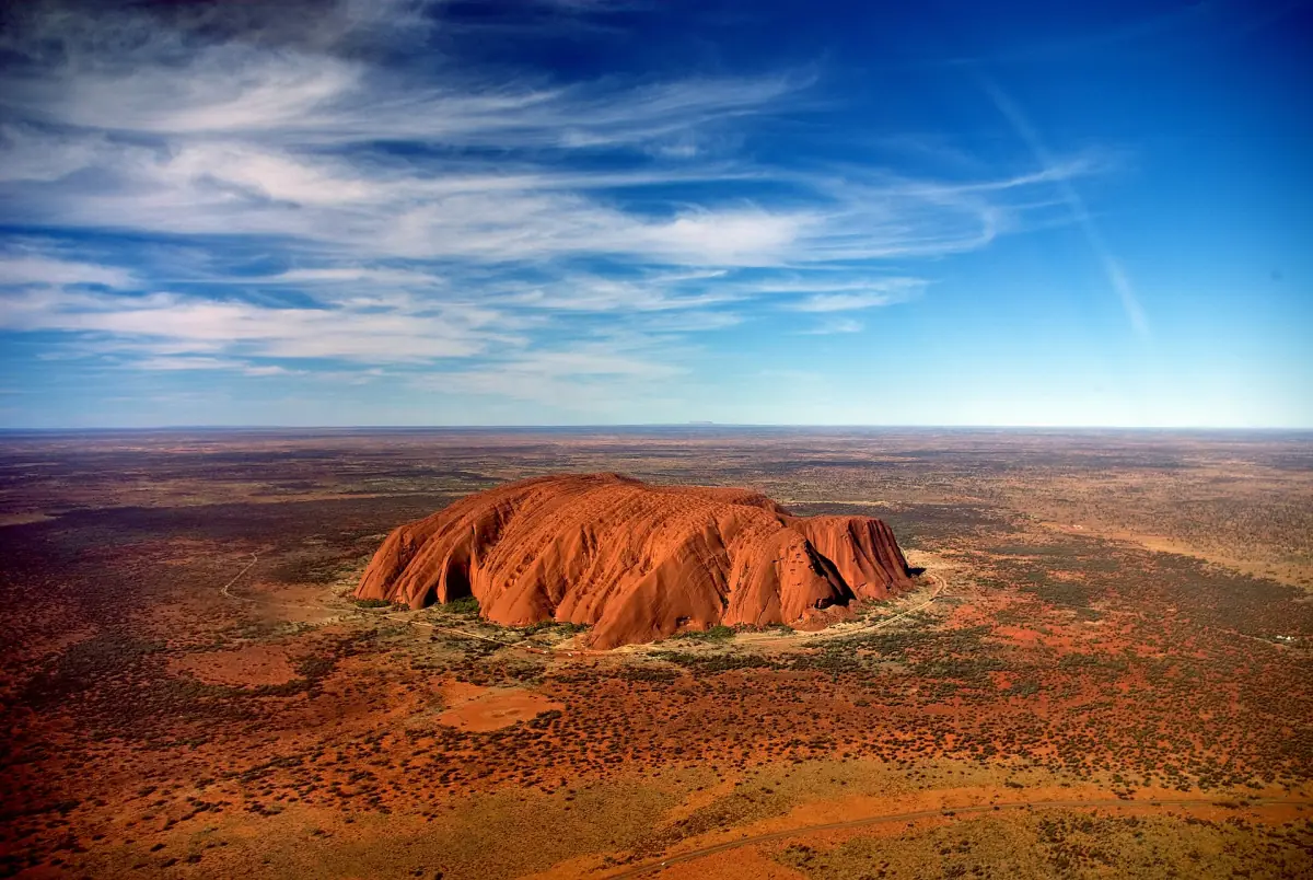
Helicopter flight over Uluru and Kata Tjuta
A 25-minute flight with a pilot, plus the return transfer by air-conditioned bus. No exclusions are listed.
Check availability →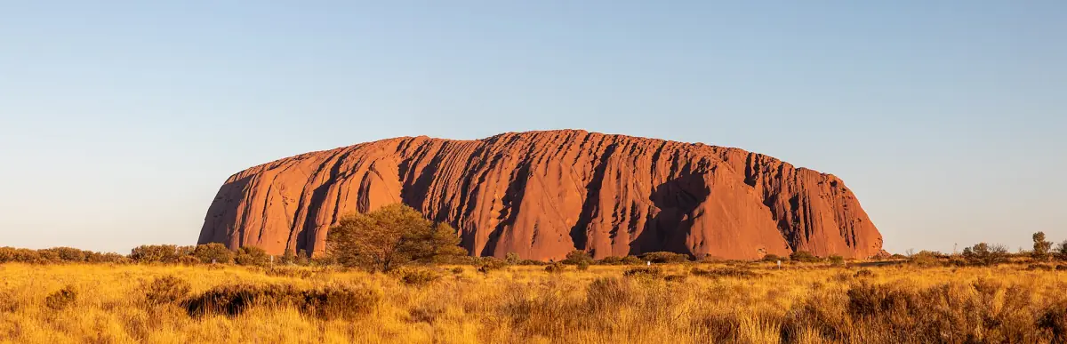
Guided walk around the base of Uluru
A driver-guide, hotel pickup, tea and coffee and a picnic breakfast on a six-hour small-group trip. The park pass is extra.
Check availability →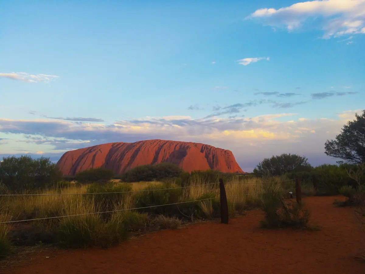
Uluru sunset tour with wine and snacks
Hotel pickup in an air-conditioned bus, live commentary, snacks and drinks at sunset, including wine and non-alcoholic options. The park pass is extra.
Check availability →Uluru tours and tickets
Sunrise and sunset trips, guided walks around the base, helicopter flights and Kata Tjuta, with live prices and availability.
How to see the rock
You cannot climb it, but there are good ways to see it.
Walk around the base
The Base Walk is a 10.6 km loop that takes about 3 hours 30 minutes. Start early, because the heat builds fast. Shorter walks to Kantju Gorge and the Mutitjulu Waterhole cover the most striking sections in 30 minutes to 1 hour 30 minutes.
Base Walk guide →Watch the light change
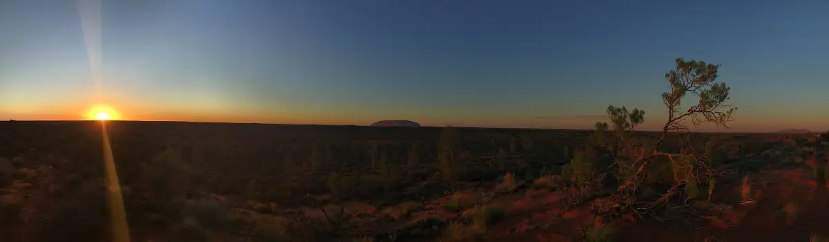
The park has designated viewing areas for sunrise and sunset. One has platforms, shelters, water and toilets. Another is a car-only area about 15 to 20 minutes from Yulara. Both have their own rules.
Sunrise and sunset guide →See it from the air
Helicopter flights over the region start from the resort at Yulara. One operator states that its flights do not pass directly over Uluru. Ask before you book what the route covers.
Tours compared →Come back after dark
Field of Light is a separate evening art installation near the rock. It is a contemporary artwork and not an Anangu ceremony. Entry needs a booked ticket.
Field of Light guide →Learn about the place
The cultural centre explains Tjukurpa, the law and knowledge that guide Anangu life. Plan at least 2 hours there.
Anangu culture →Photography and respect
Uluru is a sacred place. Parts of the rock are not to be photographed, and signs mark them. The sensitive area on the north-east side runs from Kantju Gorge to Kuniya Piti. Sensitive places include Tjukatjapi, Warayuki, Mala Puta, Taputji, Kuniya Piti and Pulari. Pulari is a no-photo zone.
Please follow the signs and the advice on each track. At the car sunset area, photograph the rock as a whole and do not zoom in on details. Drones are not allowed in the park without permission from the authorities.
Stay on marked paths. Do not climb on boulders and do not enter closed areas.
Plan the rest of your visit
Pages that help with the next decisions.
Ayers Rock and Uluru: frequently asked questions
Is Ayers Rock the same as Uluru?
Yes. Uluru is the Anangu name. Ayers Rock is the name given in 1873. The park now uses Uluru, and the dual name has been written Uluru / Ayers Rock since 2002.
How tall is Uluru?
348 m above the surrounding plain. That is not the height above sea level, so do not compare it with mountain altitudes.
How long does it take to walk around Uluru?
The Base Walk is 10.6 km and takes about 3 hours 30 minutes. In hot weather finish by 11:00. Parts of the track close at set temperatures.
Can I climb Uluru?
No. The climb closed permanently on 26 October 2019. The closure follows Anangu law and is backed by Australian law.
Do I need a pass to see Uluru?
Yes, to enter the national park. Adults pay AUD 38 for 3 days in 2026. Children and teenagers under 18 enter free. Check the current price before you go.
Where do I stay near Uluru?
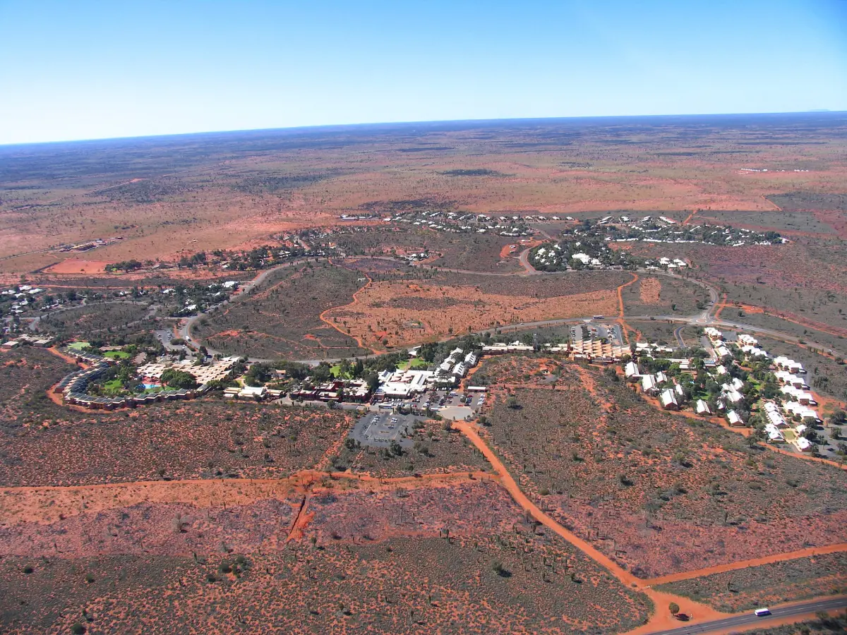
Most visitors stay in Yulara, about 10 minutes by car from the park entrance. There is no ordinary hotel inside the park.